 vesseltracker.com
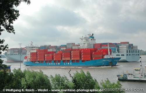
Vessel SOL PURPOSE IMO: 9322889, MMSI: 352006159 Container Ship
UTC, 16.36227, 91.83541, course: 139, speed: 12.8
UTC, 16.17426, 91.99492, course: 143, speed: 12.9
2026-02-24 01:52:50 UTC, 15.75918, 92.34413, course: 140, speed: 12.6
Live AIS position:
UTC. 142 nm W of Latputta),
updated 2026-02-24 01:52:50 UTC.
Find the position of the vessel SOL PURPOSE on the map. The latter are known coordinates and path.
marine traffic ship tracker show on live map
The current position of vessel SOL PURPOSE is 15.75918 lat / 92.34413 lng. Updated: 2026-02-24 01:52:50 UTCCurrently sailing under the flag of Panama
Details:
Last coordinates of the vessel:
UTC, 16.77403, 91.49287, course: 135, speed: 14.1UTC, 16.36227, 91.83541, course: 139, speed: 12.8
UTC, 16.17426, 91.99492, course: 143, speed: 12.9
2026-02-24 01:52:50 UTC, 15.75918, 92.34413, course: 140, speed: 12.6